Al-Idrisi: The Moroccan Cartographer Who Mapped the World
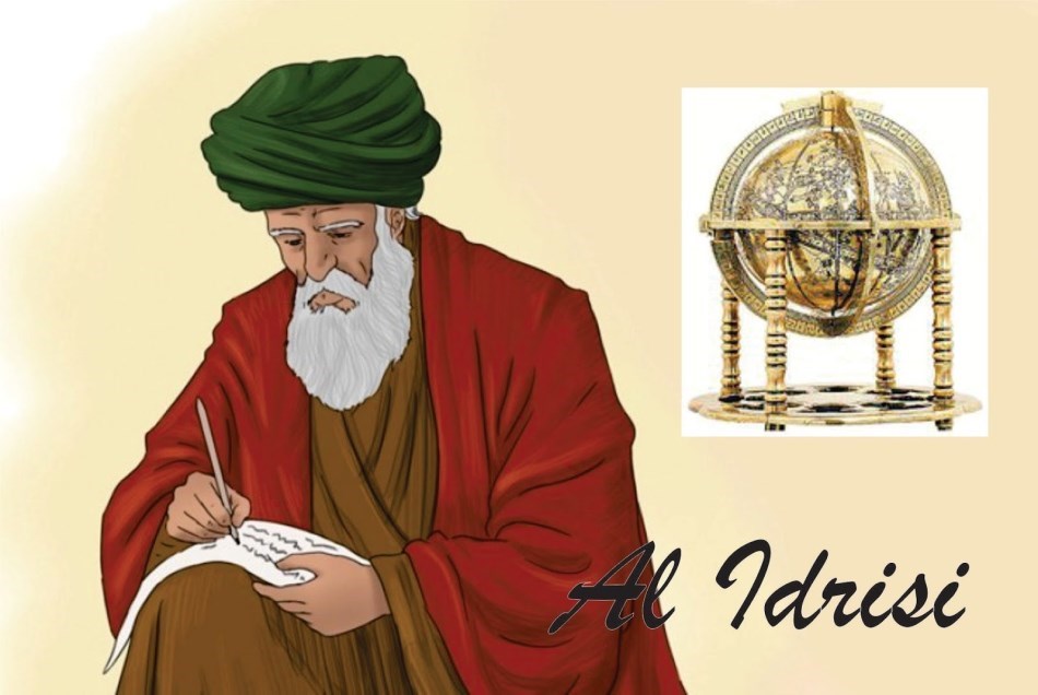
Al-Idrisi (1100–1165/66) was a Moroccan geographer, cartographer, and scholar best known for his work in geography and map-making. He was born in Ceuta, a city that was then part of the Moroccan Almoravid Empire, and was a descendant of the Hasanid dynasty—a lineage tracing back to the Prophet Muhammad. His most famous work, Tabula Rogeriana, was one of the most detailed world maps of the Middle Ages and had a significant influence on both the Islamic and European
geographical traditions.
Background and Early Years
Al-Idrisi was born in Ceuta, a strategic port city at the Strait of Gibraltar, which served as a crucial hub for trade and cultural exchange between Europe and North Africa. His family belonged to the Moroccan elite, which gave him the opportunity to study and travel extensively through North Africa, Al-Andalus (Muslim Spain), and the Middle East.
His extensive travels provided him with a deep understanding of different cultures, landscapes, and trade routes. These experiences later formed the foundation of his work as a cartographer and geographer.
Service at the Norman Court
In the 1130s, Al-Idrisi was invited to Sicily by the Norman King Roger II. At that time, Sicily was a cultural melting pot where Islamic, Christian, and Byzantine influences coexisted. The king was interested in collecting and organizing geographical knowledge and commissioned Al-Idrīsī to create a comprehensive map of the known world.
“Tabula Rogeriana” – One of the Most Important Medieval Maps
In 1154, Al-Idrīsī completed his most famous work, Tabula Rogeriana, a detailed world map accompanied by a geographic description of various regions. The map, based on both ancient sources and contemporary travel accounts, was one of the most accurate representations of the world at the time.
What made Tabula Rogeriana unique was Al-Idrīsī’s systematic approach: he divided the world into seven climate zones and described them in detail. The map was oriented with the south at the top, which was common in Islamic cartography. It covered the entire known world, from the Atlantic Ocean in the west to the Pacific Ocean in the east, and included detailed information about Europe, North Africa, the Middle East, and parts of Asia.
Al-Idrisi´s Legacy
Al-Idrisi´s work had a lasting impact on the development of geography. His maps and texts were used for centuries and influenced later European explorers. Although the original map was lost, copies of his work were preserved in various manuscripts.
His method of combining empirical observation with scientific analysis made him a pioneer in geography and cartography. Al-Idrīsī not only represents Morocco’s rich intellectual heritage but also an early global scientific tradition that connected the East and the West.
Conclusion
As a Moroccan geographer and cartographer, Al-Idrīsī was a bridge between cultures and a pioneer in geographical science. His work demonstrates how scientific knowledge can unite people across linguistic and religious boundaries. Even today, he is regarded as one of history’s greatest geographical thinkers, and his contributions to cartography and geography continue to inspire.
Story of the man who made world’s first map – Al IdrisiStory of the man who made world’s first map – Al Idrisi
Posted by Optimized.Knowledge on Thursday, December 22, 2022